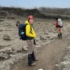
Mount Kilimanjaro, Africa’s tallest mountain, stands majestically at 5,895 meters (19,341 feet) above sea level. For travelers and trekking enthusiasts, understanding its routes, landmarks, and terrain is essential. A well-detailed Kilimanjaro map is your first step toward planning a safe and unforgettable adventure.
Understanding Kilimanjaro’s Terrain
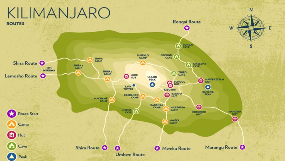
Kilimanjaro is a dormant volcano consisting of three cones: Kibo, Mawenzi, and Shira. Most trekking routes lead to Kibo, where the summit lies. The mountain features diverse ecological zones, from tropical forests to alpine deserts, which you can explore on your trek.
-
Shira Plateau – High-altitude moorlands with unique flora.
-
Mweka and Lemosho Forests – Dense rainforest zones at lower elevations.
-
Alpine Desert – Sparse vegetation, extreme conditions near the summit.
-
Summit (Uhuru Peak) – The ultimate goal for climbers.
Popular Kilimanjaro Trekking Routes
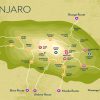
A Kilimanjaro map highlights the main trekking routes that cater to different skill levels and preferences:
-
Marangu Route (Coca-Cola Route)
-
Duration: 5–6 days
-
Known for hut accommodation and gradual ascent.
-
-
Machame Route (Whiskey Route)
-
Duration: 6–7 days
-
Scenic, challenging, and highly popular.
-
-
Lemosho Route
-
Duration: 7–8 days
-
Offers panoramic views and higher success rates.
-
-
Rongai Route
-
Duration: 6–7 days
-
Approaches from the north; less crowded.
-
-
Shira Route
-
Duration: 6–7 days
-
Remote and tranquil, perfect for adventurous climbers.
-
Each route is marked clearly on the Kilimanjaro map, showing trailheads, campsites, and checkpoints.
Why You Need a Kilimanjaro Map
-
Plan Your Trek: Choose the route that matches your fitness level and time availability.
-
Stay Safe: Identify landmarks, water sources, and emergency exit paths.
-
Maximize Experience: Know scenic viewpoints, sunrise spots, and photo opportunities.
Tips for Using Your Kilimanjaro Map
-
Combine your map with a GPS device for accurate tracking.
-
Study the altitude zones to prepare for proper acclimatization.
-
Keep a printed version as a backup, as mobile signals may be unreliable on the mountain.
Final Thoughts
A Kilimanjaro map is more than just a navigation tool—it’s a key to unlocking one of the most iconic adventures in Tanzania. Whether you’re a first-time climber or an experienced trekker, planning with a detailed map ensures a safer, more memorable ascent.
At Go Ahead Trip, we provide expert guides and detailed maps for every Kilimanjaro trekking route. Start your journey today and experience Africa’s rooftop like never before.